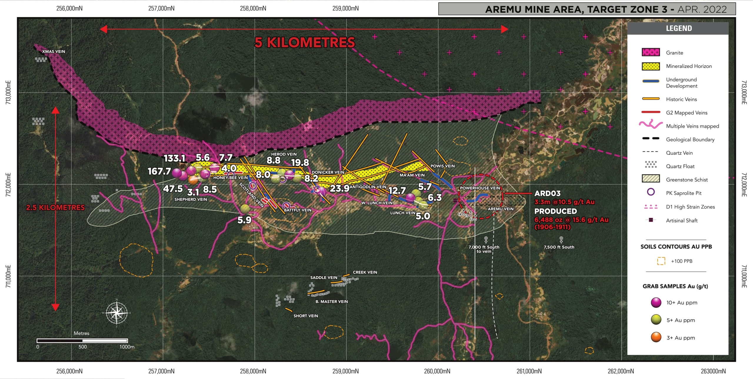
Oko Aremu District
Guyana’s Newest Large-Scale Gold Mine
Guyana’s Newest Large-Scale Gold Mine
-
- High-grade updated resource: 1.6 Moz Au at 3.24 g/t Au (Indicated) and 1.9 Moz Au at 3.31 g/t Au (Inferred).
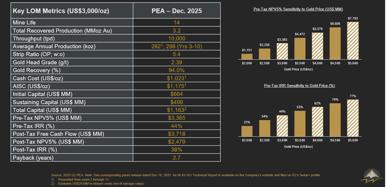
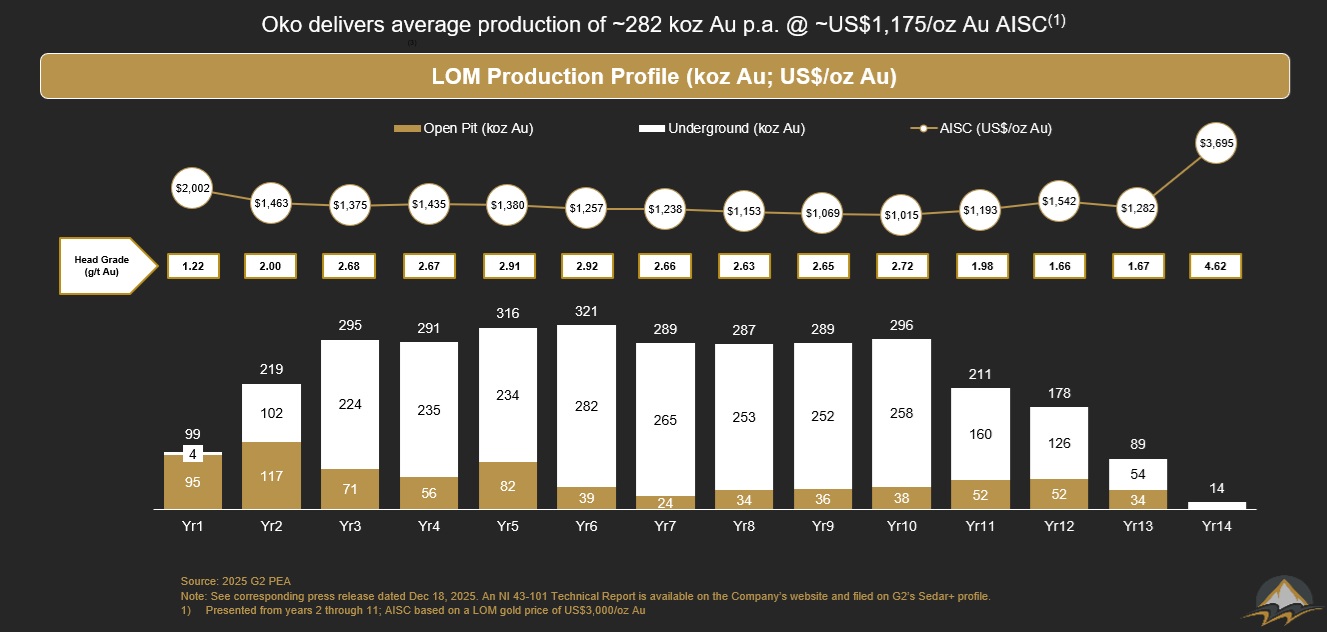
- Long life, significant production and industry-leading margins: 14-year LOM underground and open pit operation with average annual gold production of 282,000 ounces at AISC of $1,175/oz Au from years 2 through 11.
- Attractive capital profile: Initial capital of US$644 million (including 20% contingency) and sustaining capital of US$499 million over the LOM.
- Robust economics and fast payback: After-tax NPV5% of $2.5 billion, IRR of 38% and payback of 2.7 years at $3,000/oz Au (Base Case).
Click here to view a 3D model of the Oko Gold Project, Guyana

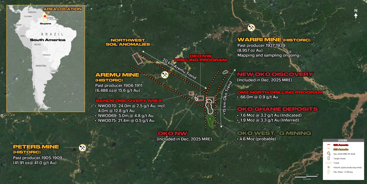
OKO District
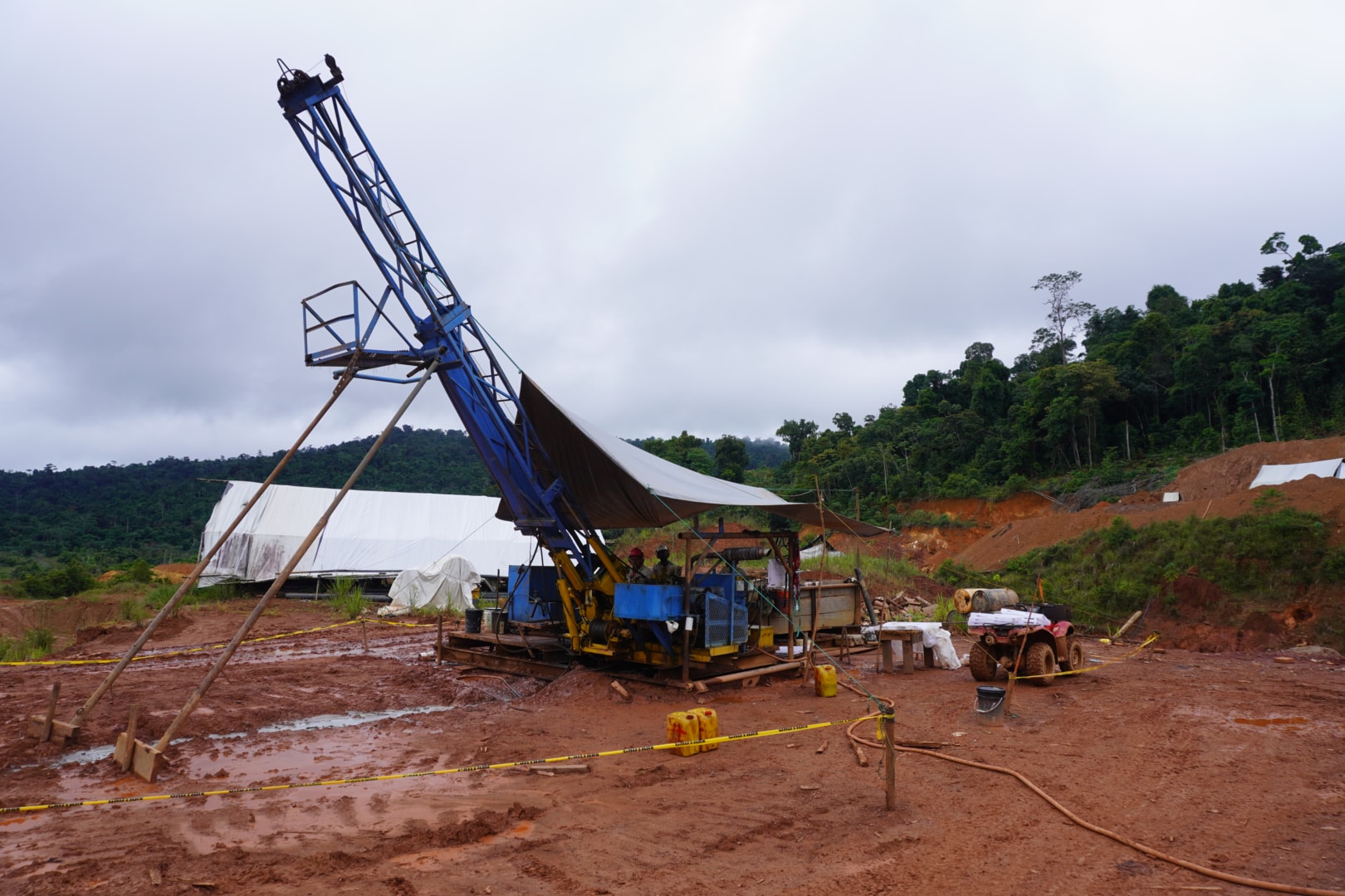
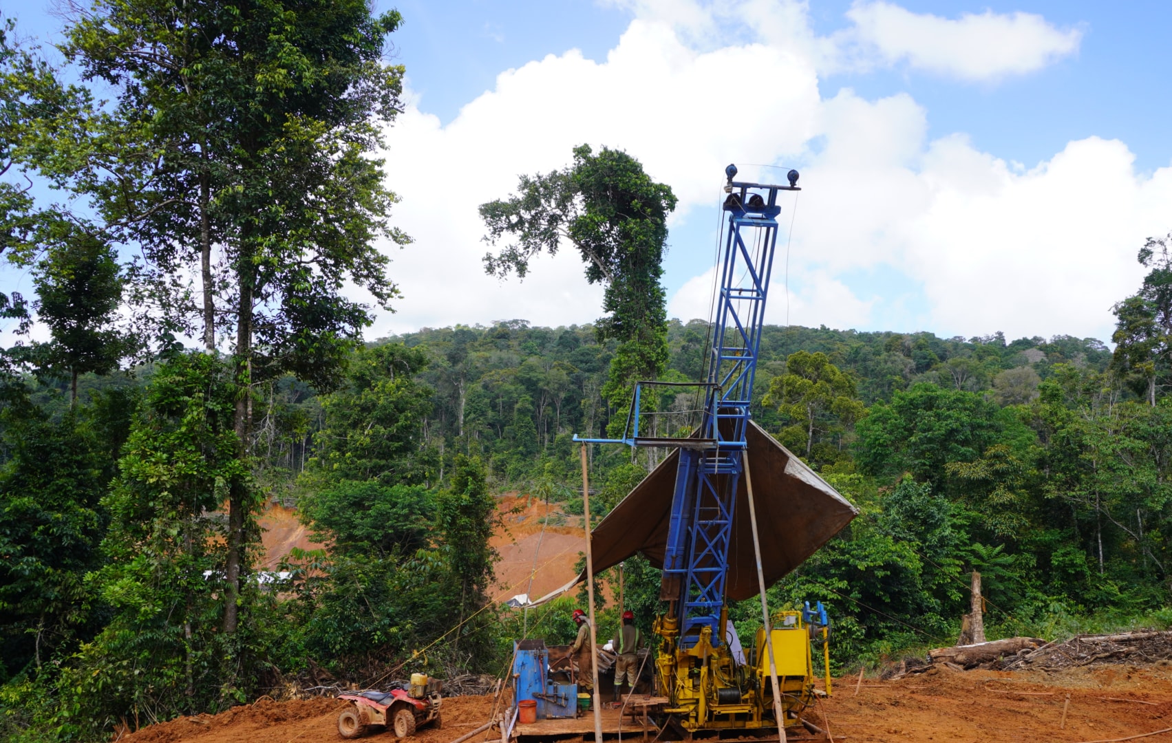
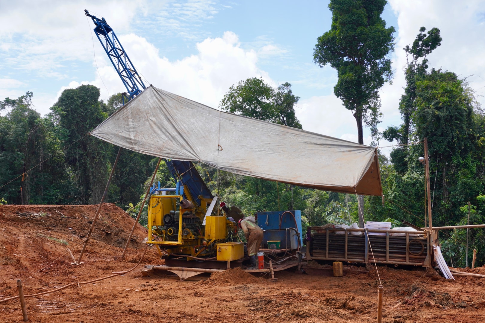
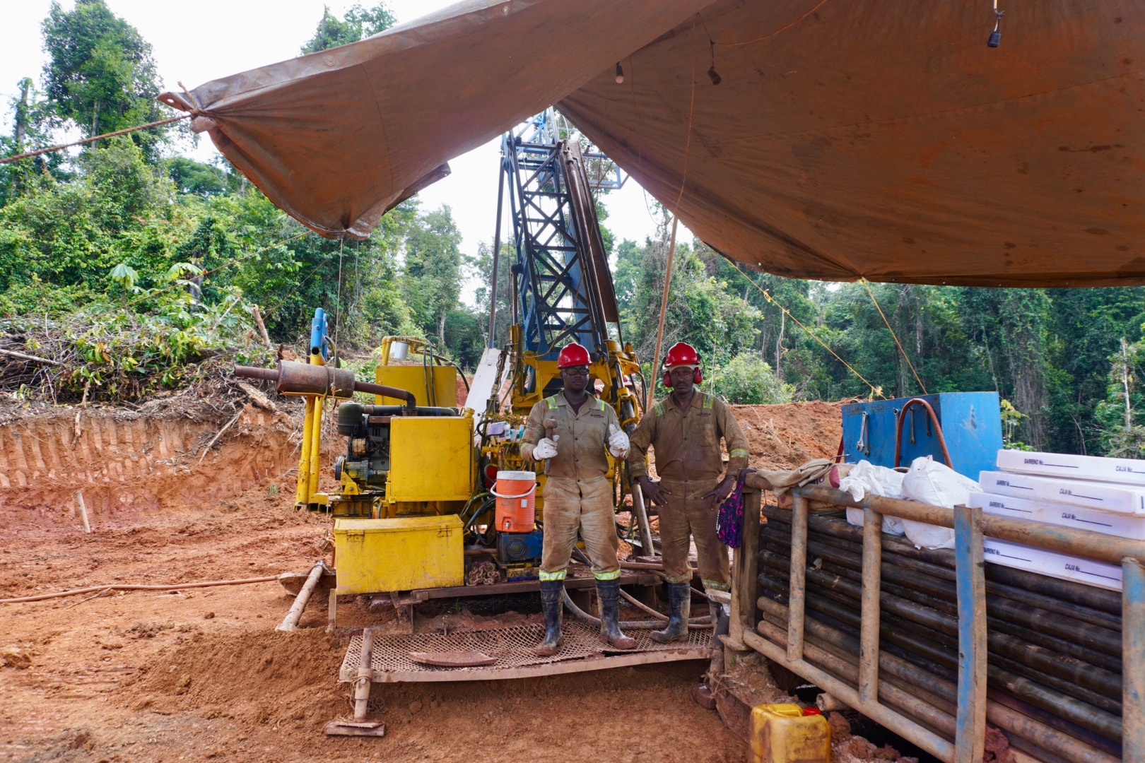
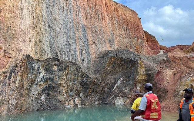
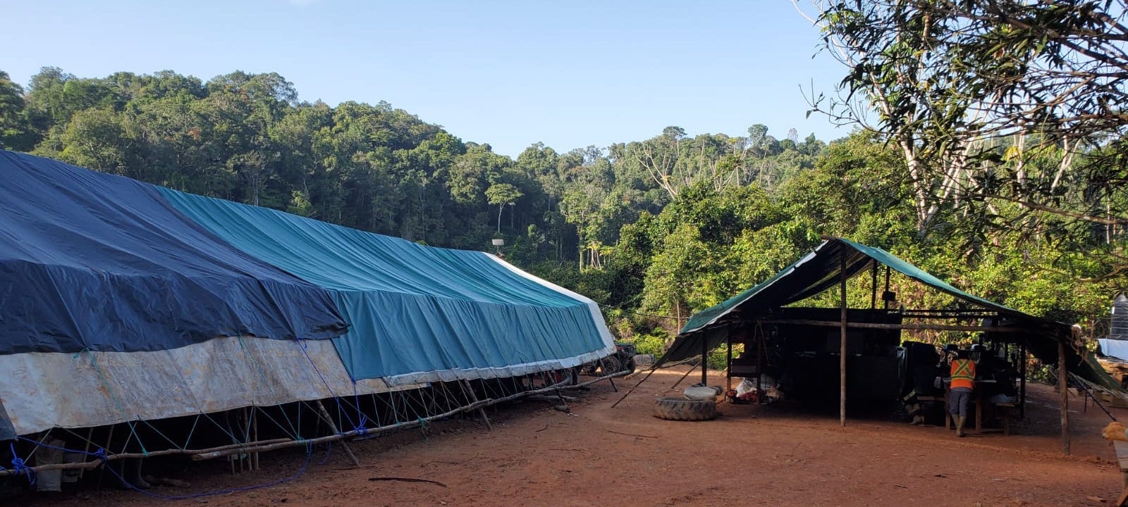
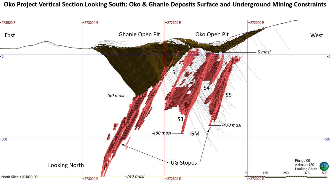
The Company’s flagship Oko-Ghanie project is located in the southeastern portion of the Cuyuni Mining District, approximately 120 km west-southwest of Guyana’s capital city, Georgetown, 60 km west of the town of Bartica, and directly north of G Mining’s Oko West Gold Project. The project is accessed by a combination of boat and truck, using rivers and logging roads, from the town of Bartica and the Itaballi crossing on the Mazaruni River.
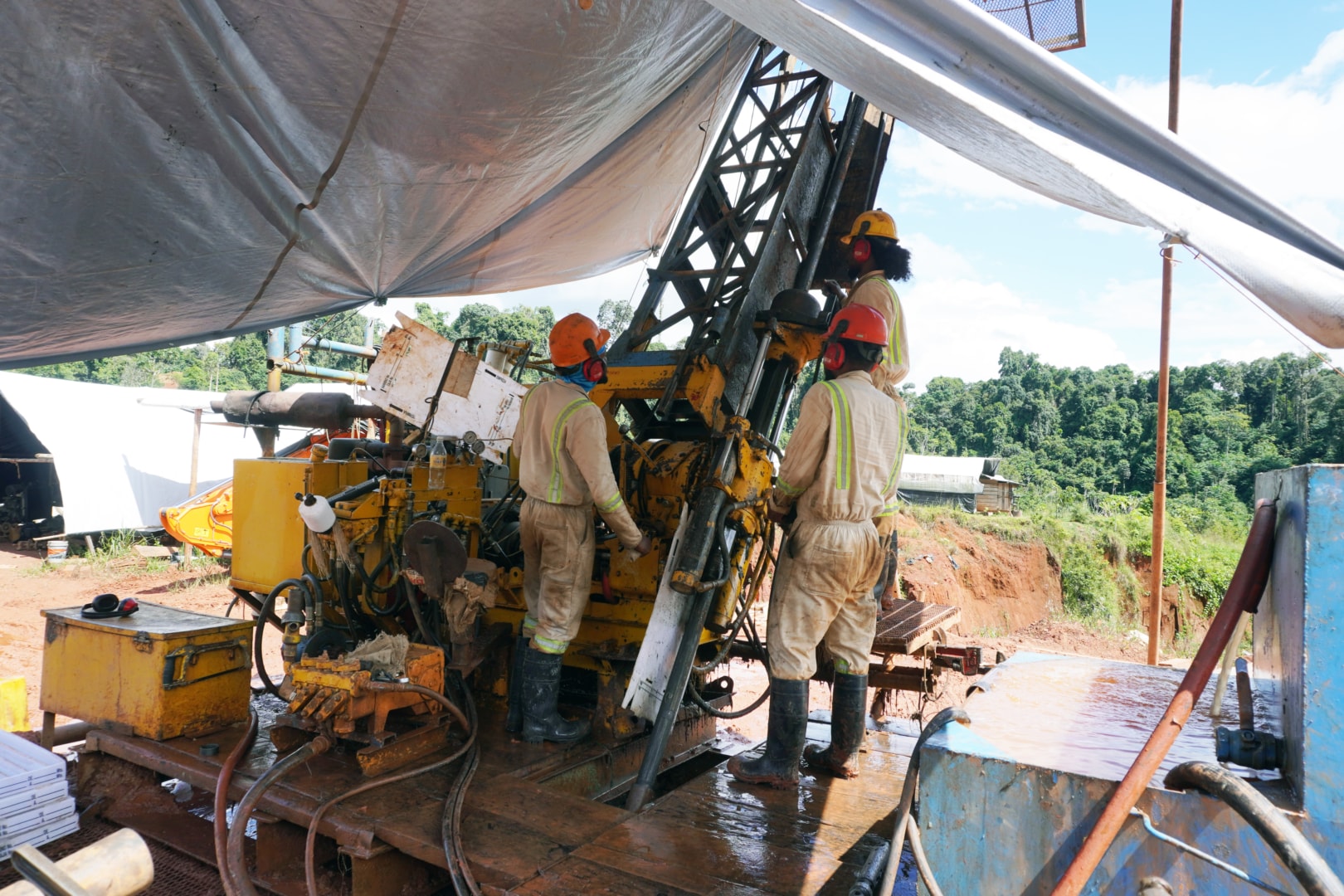
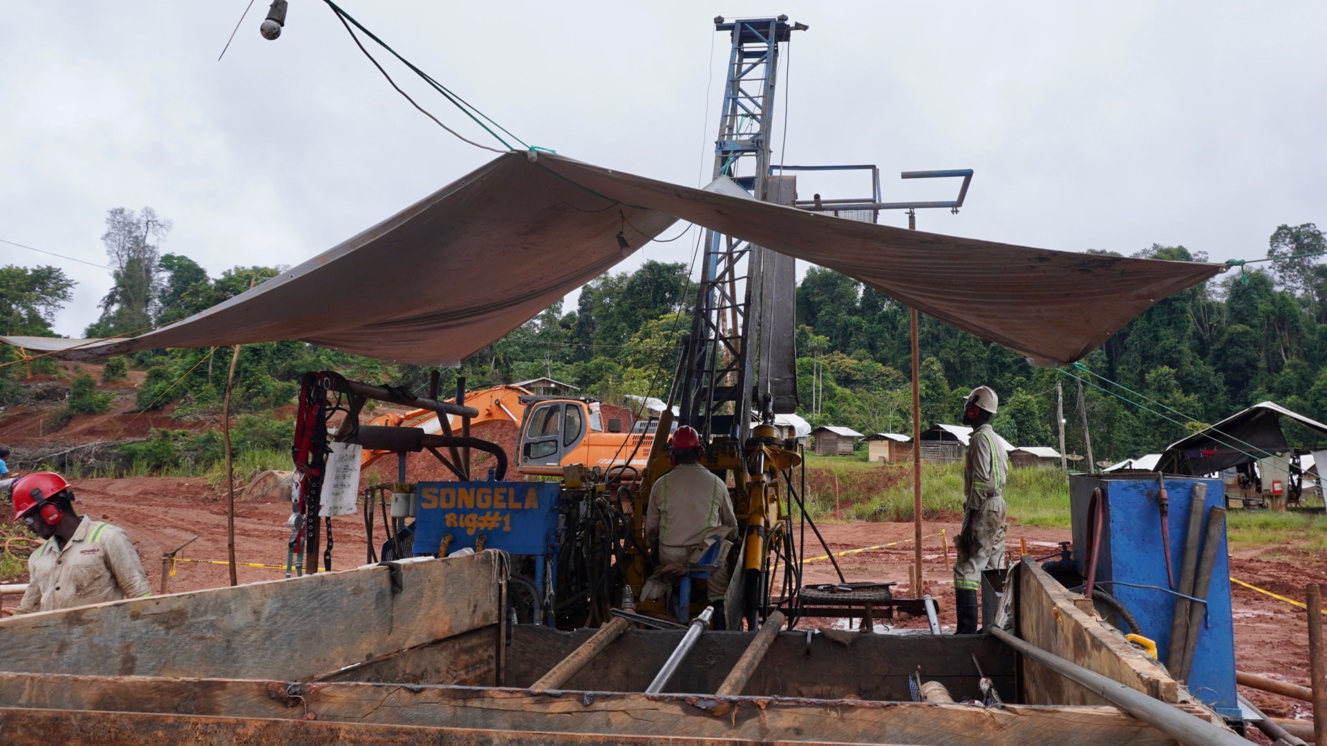
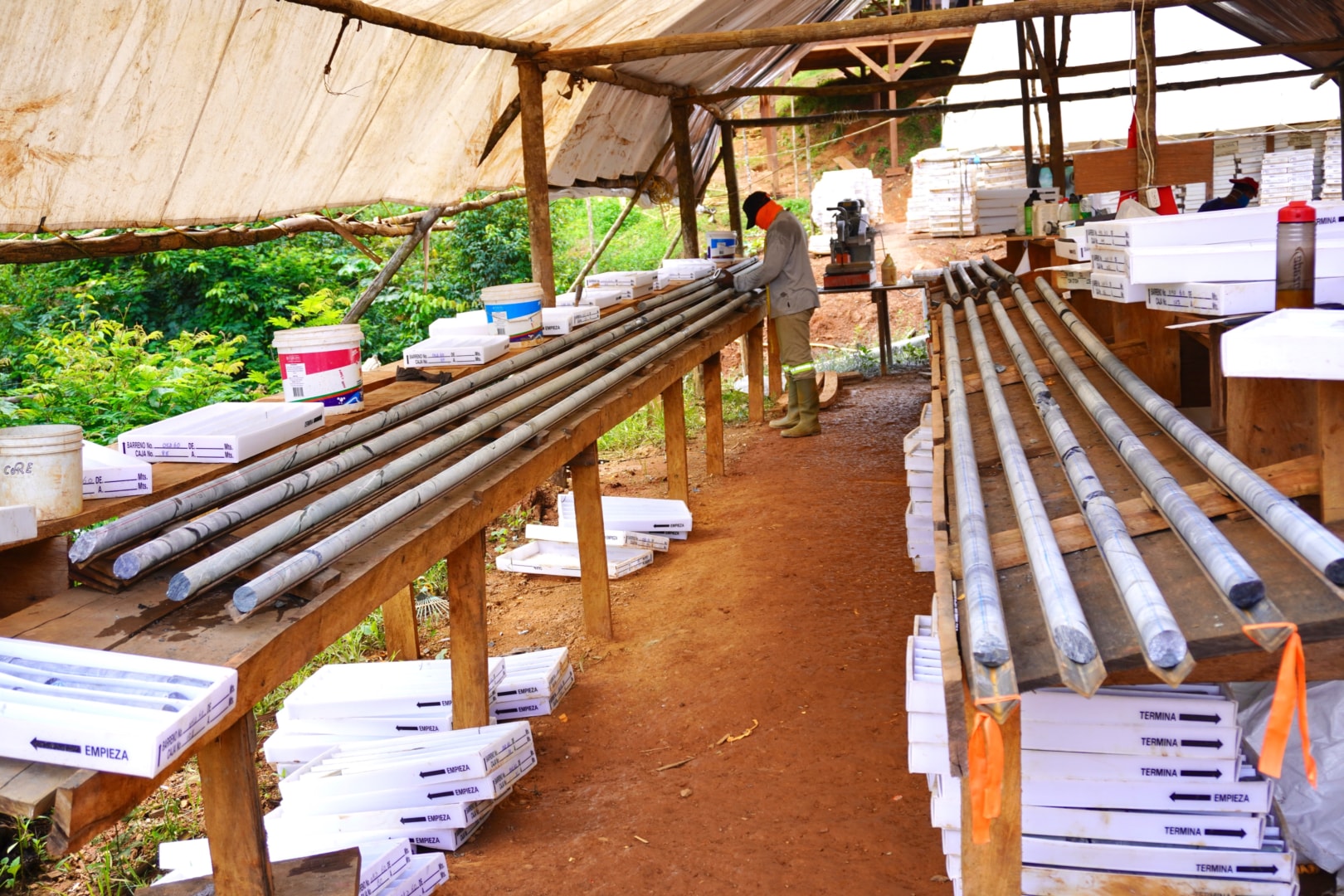
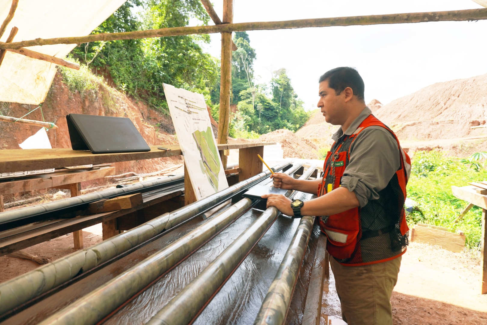
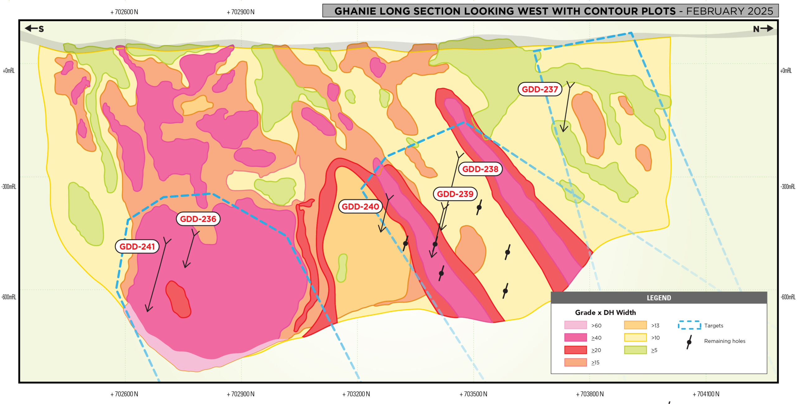
The PEA is based on the updated MRE presented totalling 1.6 million ounces of gold (Indicated) and 1.9 million ounces of gold (Inferred) from five deposits: Oko Main Zone (“OMZ”), Ghanie, Northwest Oko (“Oko NW”), North Oko (“Oko N”) and the New Oko Discovery. The bulk of the gold mineralization lies along a prominent 2.5 km long north-south structure comprised of the high-grade OMZ deposit and a bulk mineable, disseminated mineral resource at Ghanie. Importantly, OMZ includes high-grade UG Indicated mineral resources of 741,600 ounces at 13.63 grams per tonne gold (“g/t Au”) and 522,100 ounces at 6.77 g/t Au. The New Oko Discovery lies approximately 8.5 km to the north of these deposits and was only discovered in March 2025.
Updated Mineral Resource Estimate
Total combined open pit and underground Resource for the Oko Main Zone (OMZ):
- 534,400 oz. Au – Inferred contained within 2,907,000 tonnes @ 5.72 g/t Au
- 814,600 oz. Au – Indicated contained within 2,825,000 tonnes @ 8.97 g/t Au
Total combined open pit and underground Resource for Ghanie :
- 1,257,100 oz. Au – Inferred contained within 11,537,000 tonnes @ 3.39 g/t Au
- 611,100 oz. Au – Indicated contained within 7,638,000 tonnes @ 2.49 g/t Au
Total combined open pit and underground Resource for the New Oko Discovery:
- 75,000 oz. Au – Inferred contained within 1,859,000 tonnes @ 1.25 g/t Au
- 194,900 oz. Au – Indicated contained within 5,108,000 tonnes @ 1.19 g/t Au
Total open pit Resource for Oko North (Oko N):
- 32,500 oz. Au – Inferred contained within 1,293,000 tonnes @ 0.78 g/t Au
Total open pit Resource for Oko Northwest (Oko NW):
- 11,300 oz. Au – Inferred contained within 374,000 tonnes @ 0.94 g/t Au